


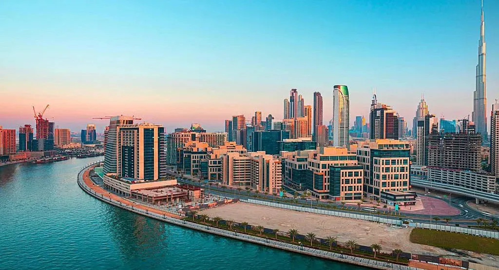
Industry · CGI & Visualisation
Scan data that dropsstraight into your pipeline
High-resolution photogrammetry, clean textured meshes and scale-accurate point clouds for CGI studios, architectural visualisation teams and Unreal Engine pipelines across the UAE.
Why most survey data fails in a CGI pipeline
Survey companies optimise for engineering accuracy and stop there. What arrives at a visualisation studio is often a dense, untextured, badly decimated mesh with no UV layout and no usable texture resolution: technically accurate and practically useless for rendering.
AIN UAE came out of aerial production before it came out of surveying, so the pipeline requirement is understood from both ends. Meshes are delivered clean, correctly scaled, properly textured and structured to import into Unreal Engine, Blender, 3ds Max or Cinema 4D without a rebuild.
Pain points
What this industry keeps running into
Meshes that need rebuilding
Dense, noisy geometry with no sensible topology, requiring days of retopology before it can be used in a render or real-time scene.
Textures too low-resolution to use
Survey-grade capture prioritises geometry over texture, producing models that fall apart under a close camera.
Wrong formats, wrong scale
Deliverables that arrive in engineering formats at the wrong unit scale, breaking lighting, physics and camera setup on import.
No understanding of the pipeline
Suppliers who have never worked in a render pipeline cannot anticipate what a lookdev or environment artist actually needs.
The AIN UAE approach
How AIN UAE delivers for visualisation
High-resolution texture capture
Capture planned for texture quality as well as geometric accuracy, so surfaces hold up under close camera work.
Clean, decimated meshes
Geometry delivered at usable polygon density with sensible topology, in place of raw survey output.
Real-time ready assets
Models structured for Unreal Engine and real-time environments, correctly scaled and oriented on import.
Point clouds for set extension
Registered point clouds supplied where the pipeline requires scan data rather than mesh geometry.
Deliverables
What you actually receive
Every engagement ends in files your team can open and act on, not a folder of raw imagery.
- ◆ Textured mesh (OBJ, FBX)
- ◆ High-resolution texture maps
- ◆ Registered point cloud (LAS, E57)
- ◆ Scale-accurate, correctly oriented geometry
- ◆ Orthographic elevations & plans
- ◆ Unreal Engine-ready asset preparation
Measurable outcomes
What studios gain
Outcomes describe deliverable structure rather than measured client results.
FAQ
CGI & Visualisation · common questions
Textured meshes in OBJ and FBX with accompanying texture maps, plus registered point clouds in LAS and E57 where the pipeline requires scan data. Assets are delivered correctly scaled and oriented so they import without transformation.
Yes. Geometry is decimated to a usable polygon density with sensible topology and prepared for real-time use, rather than handed over as raw survey output.
Capture is planned around the final camera distance. Where close camera work is required, flight altitude, overlap and sensor selection are set to deliver texture detail that holds up at that range: this is specified per project rather than fixed.
Yes. Models are captured with RTK/PPK positioning and delivered at true real-world scale, which matters for lighting behaviour, camera framing and any physical simulation in the scene.
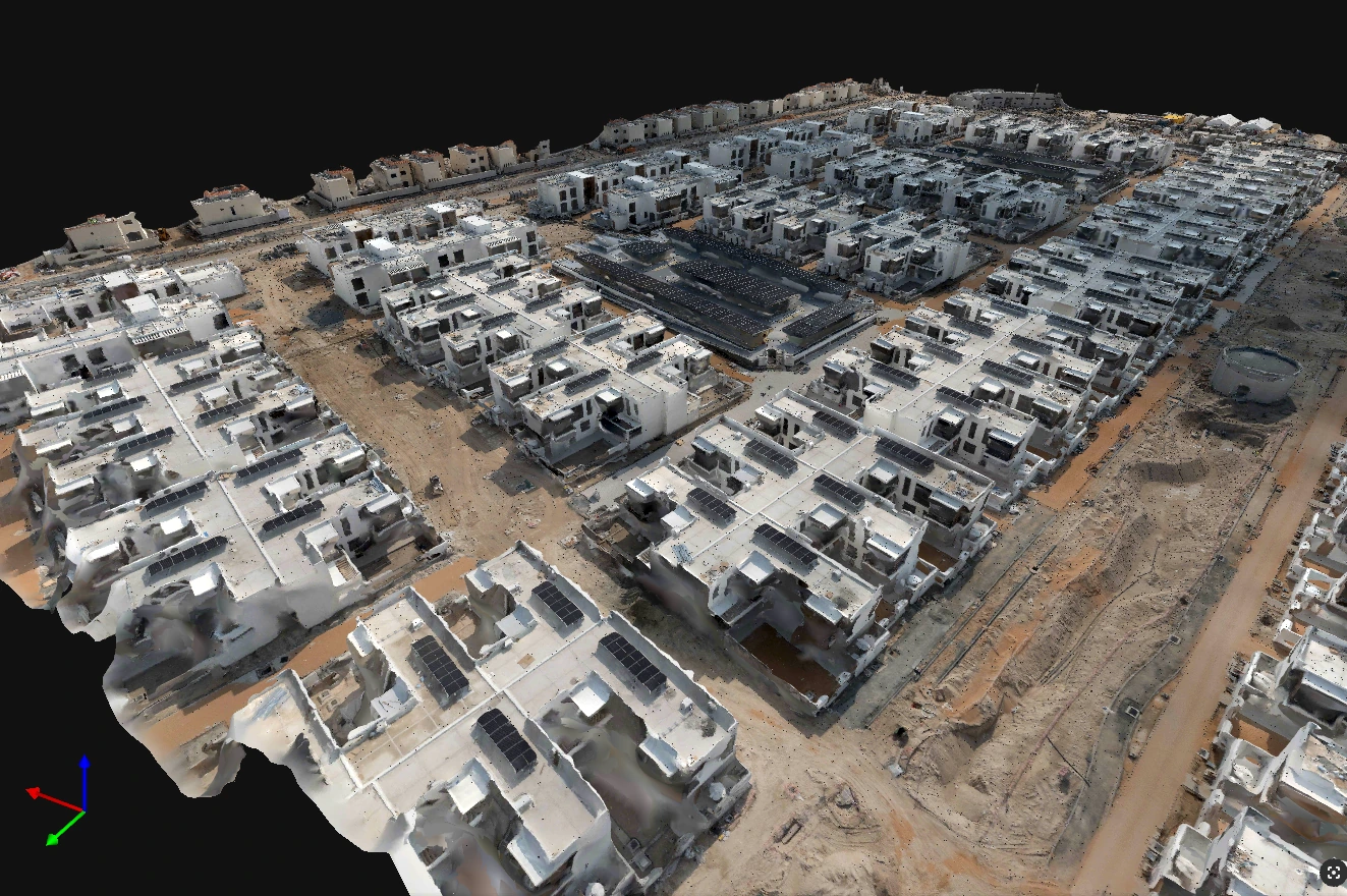
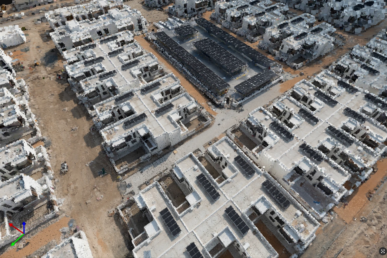
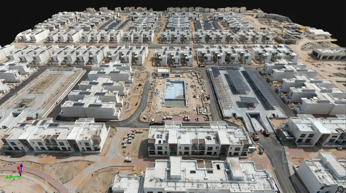
Model outputs
Geometry ready for visualisation
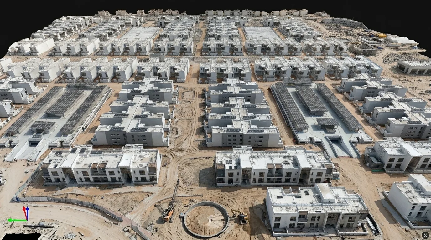
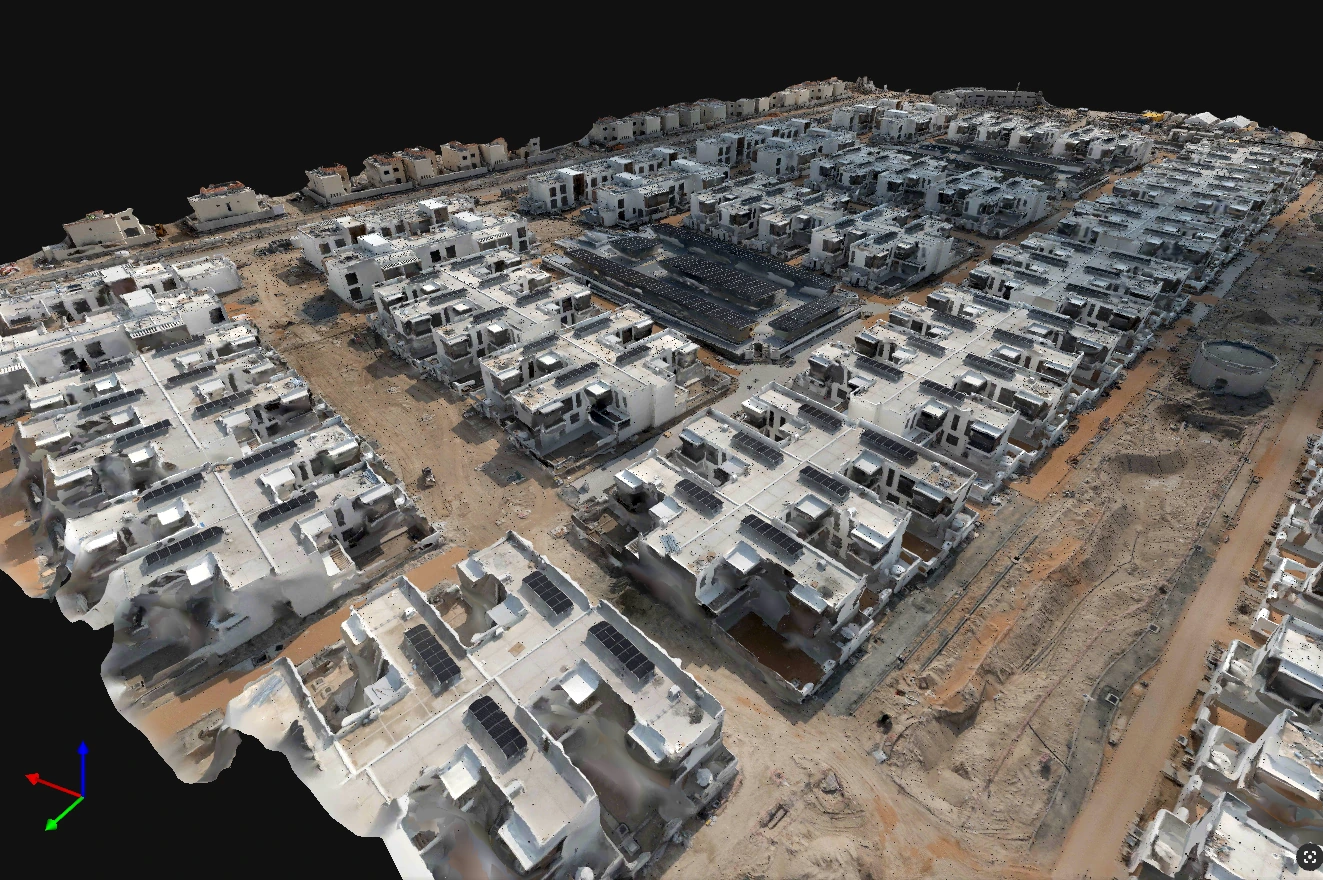
Clean meshes and site models drop straight into a visualisation pipeline, so the render sits on measured geometry rather than an artist's approximation.

Scope your project in one call
Tell us the asset, the deadline and the deliverable format: we’ll map the mission. GCAA & DCAA licensed. We respond within 24 hours.