


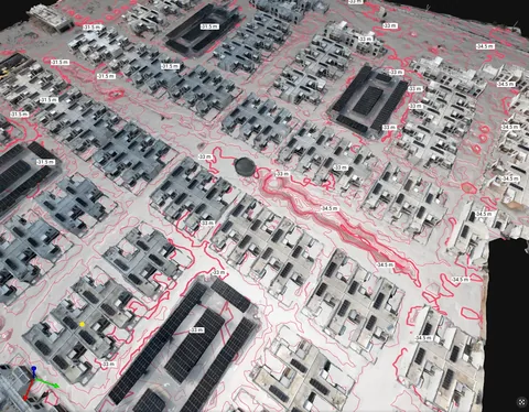
Land & topographic surveying
Site and terrain information for planning and design. Discuss survey extent, coordinate requirements and the outputs your team needs.
Explore this serviceThe smartest way to manage built assets
Gain complete visibility across your asset portfolio with high-resolution drone inspection data and 3D digital twin outputs: built from photogrammetry, mapping, surveys and thermal imaging. Asset-inspection-grade data. No assumptions.
The point is not the 3D model. It is detecting issues before they become failures, so maintenance can be planned against measured condition instead of scheduled around the last thing that broke.
AIN combines ground surveying and reality capture services with its drone surveying capability. Start with the project requirements to scope the right service for design, construction or existing-condition documentation.
Site and terrain information for planning and design. Discuss survey extent, coordinate requirements and the outputs your team needs.
Explore this service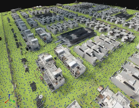
Translate agreed design requirements into site layout. Scope the work around project drawings, survey references and required visits.
Explore this service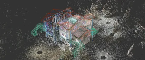
Capture existing buildings and structures to support documentation and Scan-to-BIM workflows, with model requirements agreed for the project.
Explore this service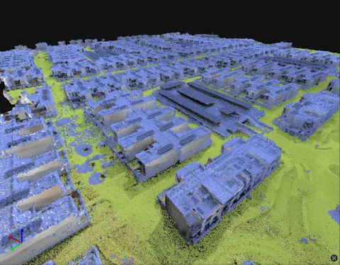
LiDAR surveying where it suits the required site data. Capture approach and output scope are reviewed before the work is agreed.
Explore this serviceImages illustrate survey and reality-capture outputs, not a specific capture instrument. Survey method and deliverables are agreed to suit the project.
01 · Core Solutions
Cloud-based digital twin with AI defect detection, BIM integration and multi-team access. Your engineers, FM team, consultants and clients all working from the same model: no more emailing PDFs or chasing reports.
Explore →
Façade crack detection, thermal anomaly mapping and structural condition assessment: without rope access or scaffolding. Track exactly how a defect develops, where risk sits, and what to fix first.
Explore →
Combine drone data, thermal imagery, point clouds and photogrammetry outputs directly with your existing BIM model. Compatible with Autodesk Revit and Bentley: no reformatting, no third-party conversion.
Explore →
NDVI mapping, crop stress analysis and precision irrigation planning for agricultural operators and agri-tech firms, plus environmental and vegetation monitoring at scale.
Explore →
Commercial aerial filming, cinematic drone videography and FPV production for brands, developers, agencies and large-scale events across the UAE. Reel and production delivered by our sister studio, Sky Knight.
Explore →
Cleaning and inspection address different site needs. Explore exterior cleaning or solar PV thermal inspection for projects in Dubai, Abu Dhabi and across the UAE, then send the project details for a scoped assessment.
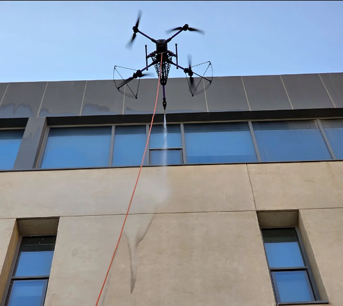
Arrange drone cleaning for building façades, exterior glass and suitable industrial surfaces. AIN assesses the surface, site access and operating conditions before confirming the cleaning approach, helping property and facilities teams plan the work around their site.
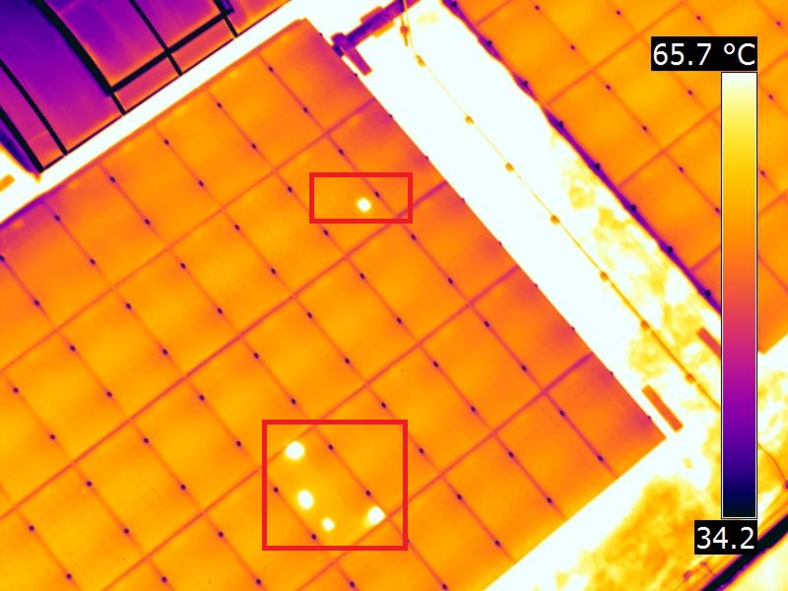
Review solar-panel temperature patterns using infrared and visual imagery. AIN records observations and agrees the reporting scope with your team so marked areas can be located and investigated. Thermal findings support maintenance decisions; they do not replace electrical testing.
Arrange exterior cleaning with AIN for building façades, glass and solar panels. The service also covers suitable exterior areas of warehouses, factories and oil and gas facilities, with the cleaning approach assessed around the surface and site conditions.
Building cleaning is available up to 60 metres, subject to site suitability. Greater heights may require a site inspection before the feasible scope can be confirmed.
Request a drone-cleaning assessmentTell us the location, surface type, approximate height and area to be cleaned. Inspection and cleaning are separate services and can be discussed according to your needs.
Request a drone-cleaning assessmentAIN delivers drone cleaning. The cleaning scope and site requirements are confirmed before work begins.
Higher buildings may require a site inspection to assess feasibility. Additional reach is not guaranteed before assessment.
02 · The Platform
Move faster from drone inspection to intervention with centralised digital twin models, inspection records and defect history: all accessible in one place.
Access models and condition records anytime, from any device. No VPN, no file requests, no waiting on an emailed report.
ISO-aligned, GDPR-ready, inspection-grade data security. Suitable for regulated oil & gas, government and financial-sector assets.
Structured condition assessment reports formatted to UAE infrastructure standards: ready to submit without reformatting.
Owners, engineers, FM teams and consultants each get exactly the access they need: view, annotate or export.
Deploy on private servers with Single Sign-On for organisations where data sovereignty is non-negotiable.
Full onboarding, team training and ongoing support by our UAE team: we stay involved until the system is embedded.
03 · Field Proof
Corridor photogrammetry and structural deck modeling for civil infrastructure.
Radiometric thermal capture and anomaly analysis across live industrial assets.
Tell us the asset, the deadline and the deliverable format: we'll map the mission.