


Industry · Construction & Contracting
Drone survey forconstruction projects
Progress monitoring, volumetric surveys and as-built documentation for contractors and PMCs building across the UAE: captured on a schedule, delivered in formats your BIM team already uses.
What construction teams actually need from aerial data
Construction is a documentation business as much as a building business. When a variation is disputed, an extension of time is claimed, or a quantity is challenged, the question is always the same: what did the site actually look like on that date? Most projects cannot answer it with confidence, because the record is a folder of phone photos and a monthly report written from memory.
AIN UAE flies your site on a fixed cadence and turns each capture into a geo-referenced, time-stamped record: an orthomosaic you can measure on, a 3D model you can compare month to month, and volumetric figures that are defensible in a payment application.
Pain points
What this industry keeps running into
Progress disputes with no evidence
Monthly reports describe progress in prose. When a claim or EOT dispute arrives months later, there is no measurable, dated record of site condition to point at.
Volumetric surveys that take a week
Traditional stockpile and cut/fill surveys tie up a survey crew, interrupt site operations, and produce figures that are already out of date by the time they are issued.
As-builts that do not match reality
Hand-measured as-built documentation drifts from what was actually constructed, surfacing as clashes and rework during handover or fit-out.
Programme time lost to site walks
Senior staff spend hours per week walking site to assess progress that could be assessed from a measurable model in minutes.
The AIN UAE approach
How AIN UAE works on a construction programme
Baseline capture
A full site capture before or at mobilisation establishes the reference model everything later is compared against.
Scheduled progress flights
Weekly, fortnightly or monthly capture depending on programme intensity: each one versioned against the baseline.
Cut / fill & stockpile volumetrics
Earthworks quantities calculated from the point cloud, with the survey method and accuracy documented in the report.
As-built documentation
Geo-referenced point clouds and mesh models issued in BIM-compatible formats for handover, clash detection and O&M.
Deliverables
What you actually receive
Every engagement ends in files your team can open and act on, not a folder of raw imagery.
- ◆ High-resolution orthomosaic (measurable site plan)
- ◆ Dated 3D model & point cloud per capture
- ◆ Cut/fill and stockpile volumetric reports
- ◆ As-built documentation (LAS, E57, OBJ, RCP, IFC-compatible)
- ◆ Progress comparison between any two captures
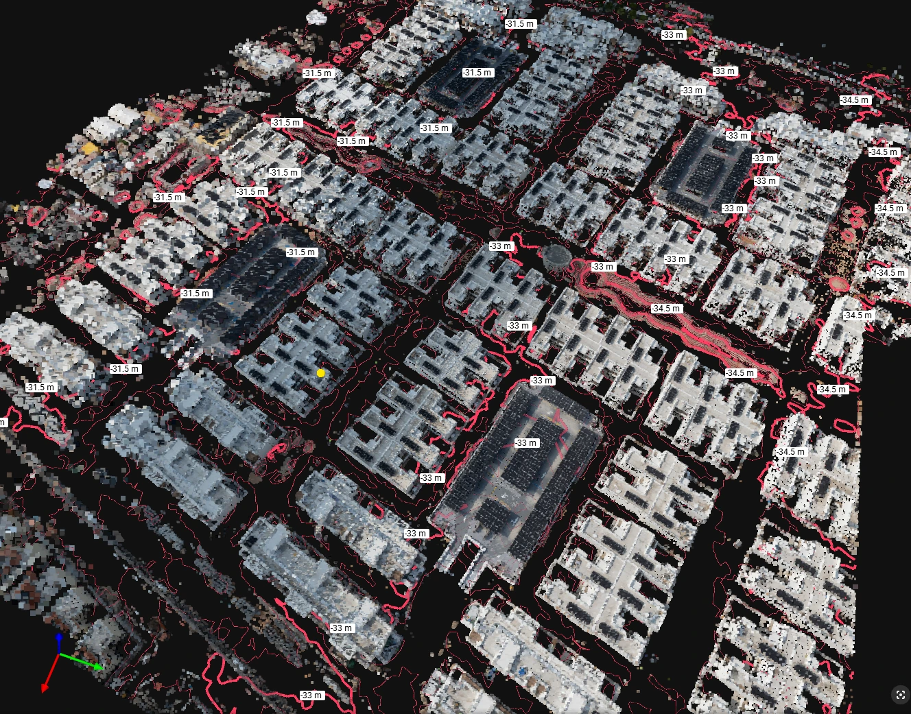
- ◆ Site-wide elevation model (DTM/DSM)
Measurable outcomes
Where the money is saved
Figures below are industry benchmarks for drone-based construction workflows, not AIN UAE project results.
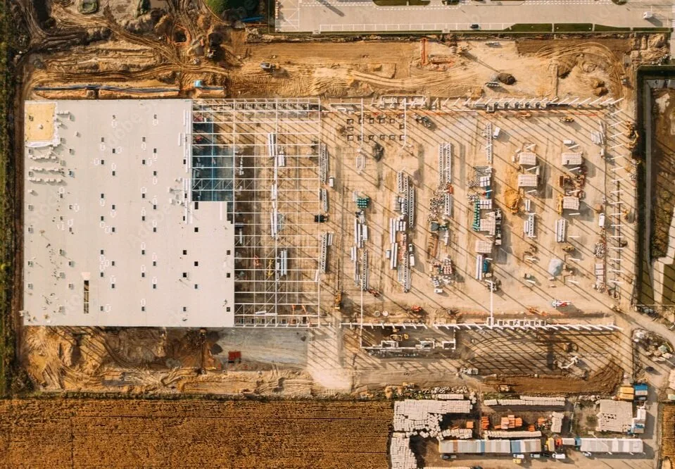
A dated, geo-referenced record of the whole site: measurable, and defensible in a variation or delay claim.
FAQ
Construction & Contracting · common questions
It depends on programme intensity. Fast-moving earthworks and structural phases usually justify weekly or fortnightly capture; slower fit-out phases are typically monthly. AIN UAE sets the cadence against your programme so each capture lands before a valuation or progress meeting rather than after it.
Yes, provided the data is geo-referenced, time-stamped and captured to a documented accuracy standard, which is how AIN UAE issues it. A dated orthomosaic and point cloud gives a measurable record of site condition on a specific day, which is materially stronger evidence than photographs or written progress narrative.
Yes. Deliverables are issued in LAS, E57, OBJ, RCP and IFC-compatible formats that open directly in Autodesk Revit, Civil 3D, Navisworks and Bentley without third-party conversion.
No. Capture is planned around site activity and typically takes a few hours with no stoppage, no crane downtime and no exclusion of trades from the working area.
Capture cycles
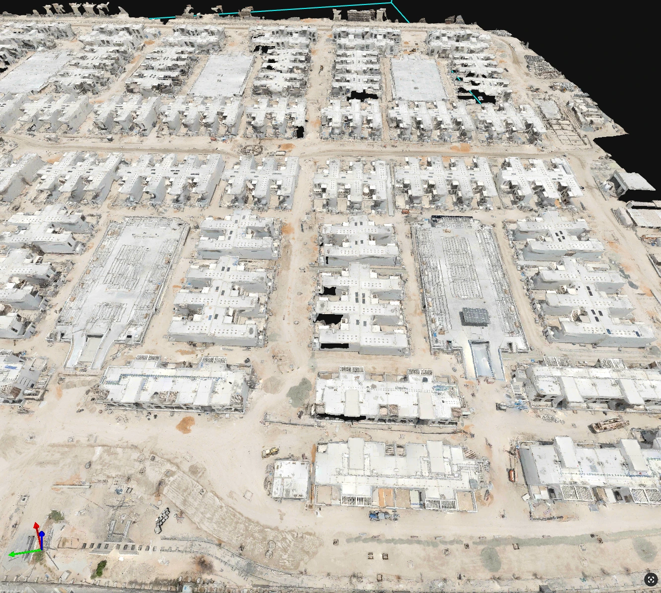
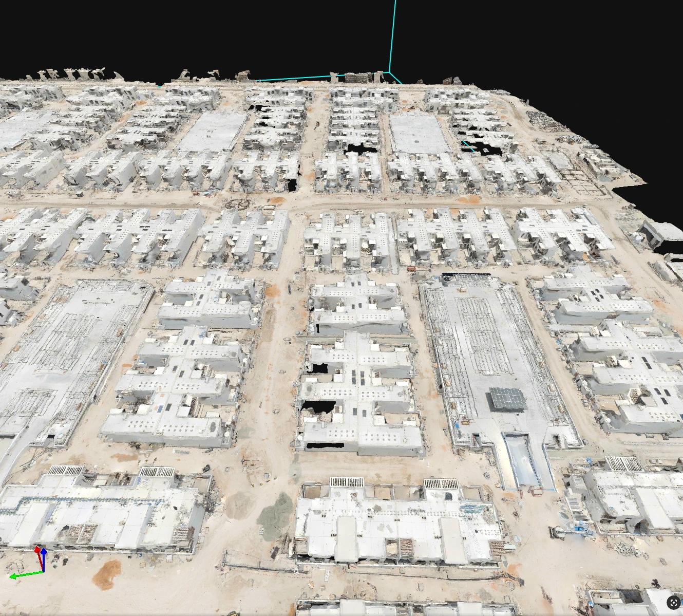
The same site, compared across dates
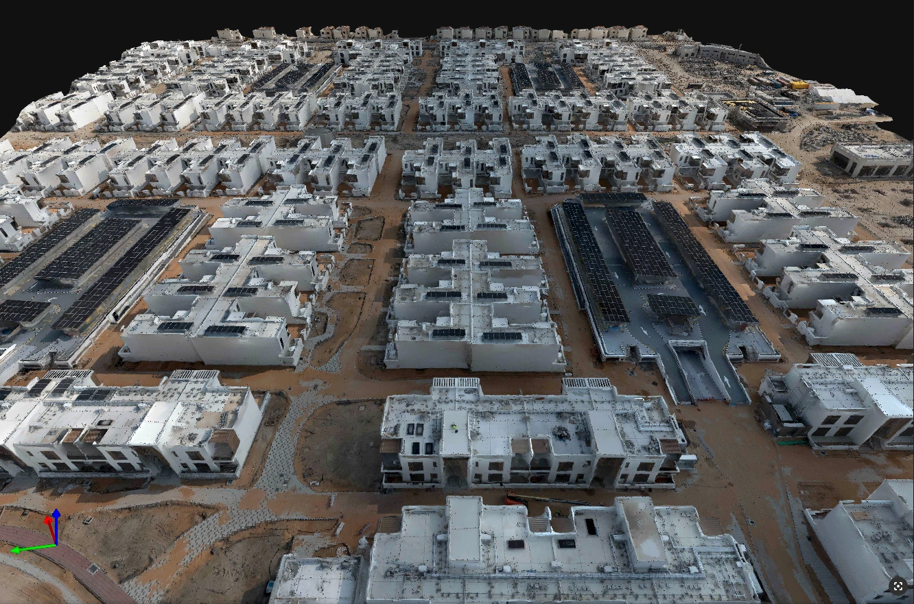
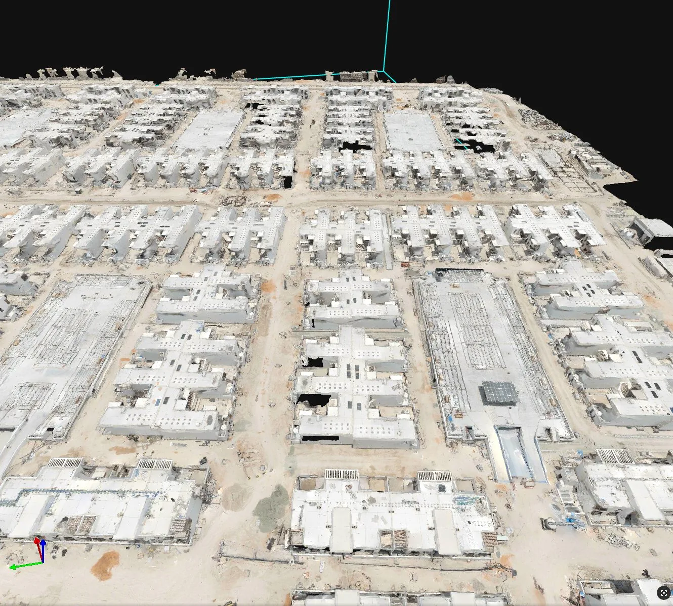
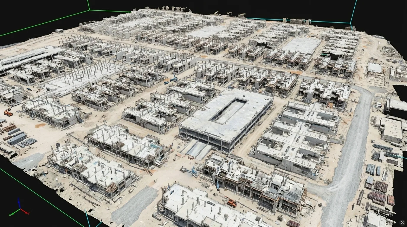
Each cycle is reconstructed the same way, so two dates can be measured against each other instead of argued over.
Scope your project in one call
Tell us the asset, the deadline and the deliverable format: we’ll map the mission. GCAA & DCAA licensed. We respond within 24 hours.