


Industry · Agriculture
See crop stress beforeit costs you yield
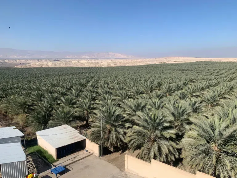
NDVI mapping, crop stress detection and variable-rate irrigation and fertilisation planning for agricultural operators, date palm plantations and agri-tech firms across the UAE.
Why UAE agriculture needs plant-level data
In UAE growing conditions, water is the most expensive input and heat stress moves fast. By the time a crop shows visible symptoms, the yield impact is usually already locked in, and irrigation decisions made across a whole block cannot respond to variation within it.
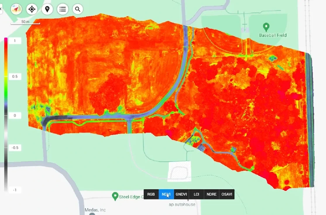
Multispectral capture measures reflectance in bands the human eye cannot see. Vegetation and stress indices derived from those bands flag problem zones days or weeks before visual symptoms appear, and translate directly into variable-rate irrigation and fertilisation maps that field equipment can execute.
Pain points
What this industry keeps running into
Stress is invisible until yield is lost
By the time discoloration or wilting is visible from the ground, the damage to yield has generally already occurred.
Irrigation applied uniformly across variable ground
Whole-block irrigation ignores in-field variation, over-watering healthy zones while under-serving stressed ones.
Areas too large to inspect on foot
Large holdings cannot be walked frequently enough to catch developing problems early.
No season-over-season measurement
Without consistent data capture there is no way to measure whether an intervention actually worked.
The AIN UAE approach
How AIN UAE supports growers
NDVI & vegetation index mapping
Whole-holding vigour mapping per flight, directly comparable between captures across the season.
Stress zone identification
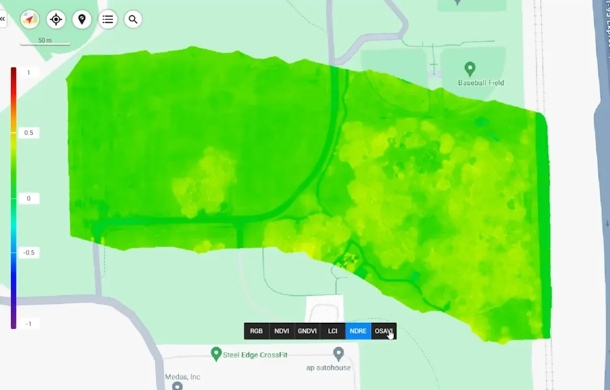
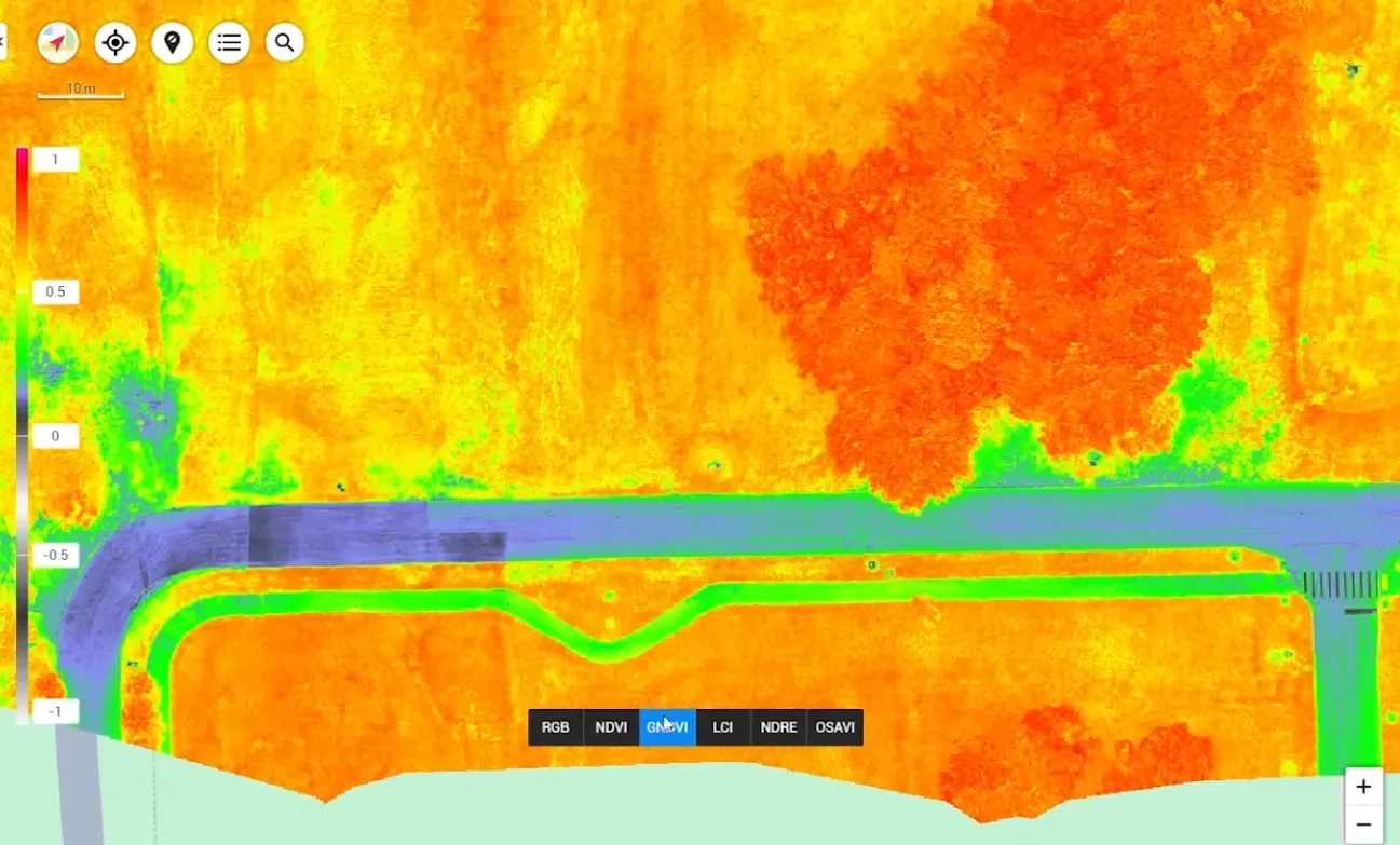
Moisture and stress indices isolate underperforming zones before symptoms are visible from the ground.
Variable-rate application maps
Zone shapefiles exported for variable-rate irrigation and fertilisation equipment.
Season benchmarking
Consistent capture across the season measures whether interventions delivered the expected response.
Deliverables
What you actually receive
Every engagement ends in files your team can open and act on, not a folder of raw imagery.
- ◆ NDVI & vegetation index maps
- ◆ Crop stress zone mapping
- ◆ Zone shapefiles for variable-rate equipment
- ◆ Agronomist-readable flight report
- ◆ Season-over-season comparison
- ◆ Geo-referenced orthomosaic of the holding
Measurable outcomes
What growers gain
Detection-lead figures reflect published agronomic benchmarks for multispectral monitoring, not AIN UAE client results.
FAQ
Agriculture · common questions
Most operators fly bi-weekly during active growth stages and monthly outside them. AIN UAE recommends a cadence based on crop type, growth stage and season so each flight lands in time to act on.
Yes. Date palm plantations, field crops, forage and landscaping assets are all regularly monitored with multispectral sensors in UAE growing conditions.
Yes. Zone shapefiles are exported in formats that variable-rate irrigation and fertilisation controllers accept, so the analysis translates directly into application rather than staying in a report.
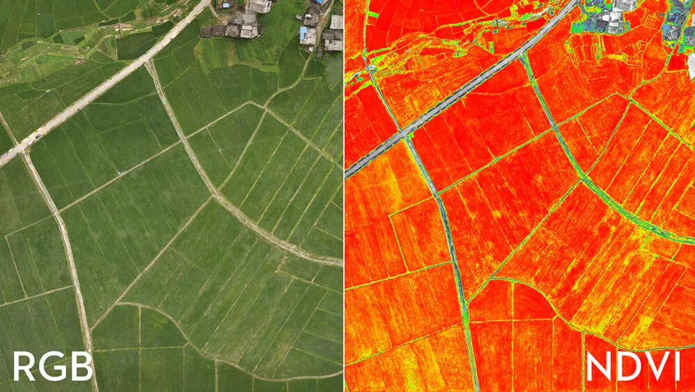
NDVI compares reflected near-infrared and red light to indicate photosynthetic activity and vegetation vigour. Healthy vegetation reflects strongly in near-infrared; stressed vegetation reflects less. It is an indicator of plant condition, not a direct diagnosis, which is why AIN UAE issues it alongside an agronomist-readable interpretation.
Field analysis
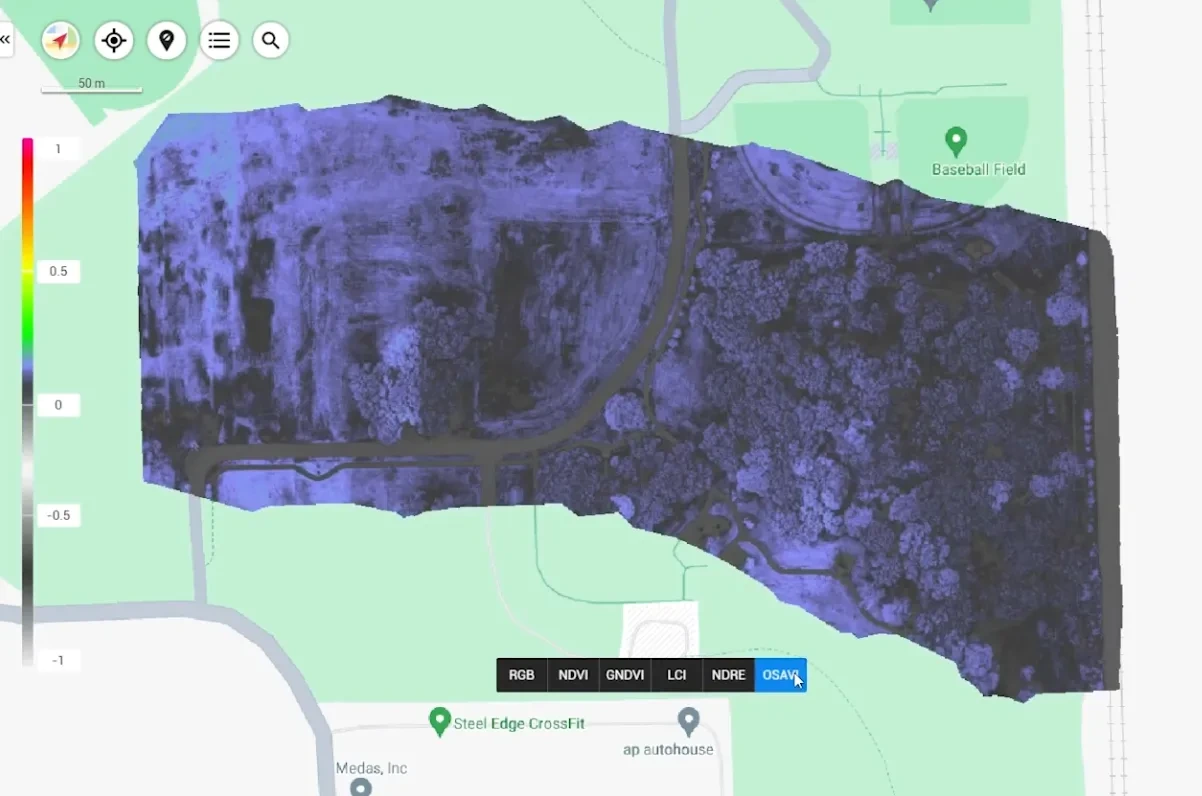
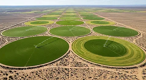
What the multispectral survey produces
Each index isolates a different stress signal, so irrigation and input decisions are made from measured variation rather than a visual guess.
Scope your project in one call
Tell us the asset, the deadline and the deliverable format: we’ll map the mission. GCAA & DCAA licensed. We respond within 24 hours.