


GCAA-licensed drone inspection & digital twin company
Narrow by design.Deep by discipline.
There are plenty of survey companies in the UAE. Most offer a wide range of services with average depth in each. We do the opposite.
Who we are
A technical partner, not a drone operator
AIN UAE combines cutting-edge UAV technology with deep technical expertise to deliver accurate, actionable data. We work directly with construction firms, engineering consultancies, facilities management teams and infrastructure owners: spatial intelligence that is precise, timely and actually useful on-site.
- ◆ Digital Twin Development for built assets and infrastructure
- ◆ Aerial & Ground-Based Inspection for structures, façades and mechanical systems
- ◆ 3D Mapping & Photogrammetry for construction, engineering and CGI workflows
- ◆ Multispectral Imaging for agriculture, environment and vegetation analysis
We know what engineers need from a point cloud
Workflows built specifically for digital twin delivery, structural inspection and geospatial data processing: structured to drop cleanly into a BIM environment.
We know the local environment
Regulatory landscape, terrain diversity and industry demands across oil & gas, real estate, agriculture and government infrastructure.
We move fast without cutting corners
Centimetre-level RTK/PPK accuracy, standard deliverable formats, coverage across all seven Emirates: fast turnaround without compromising data quality.
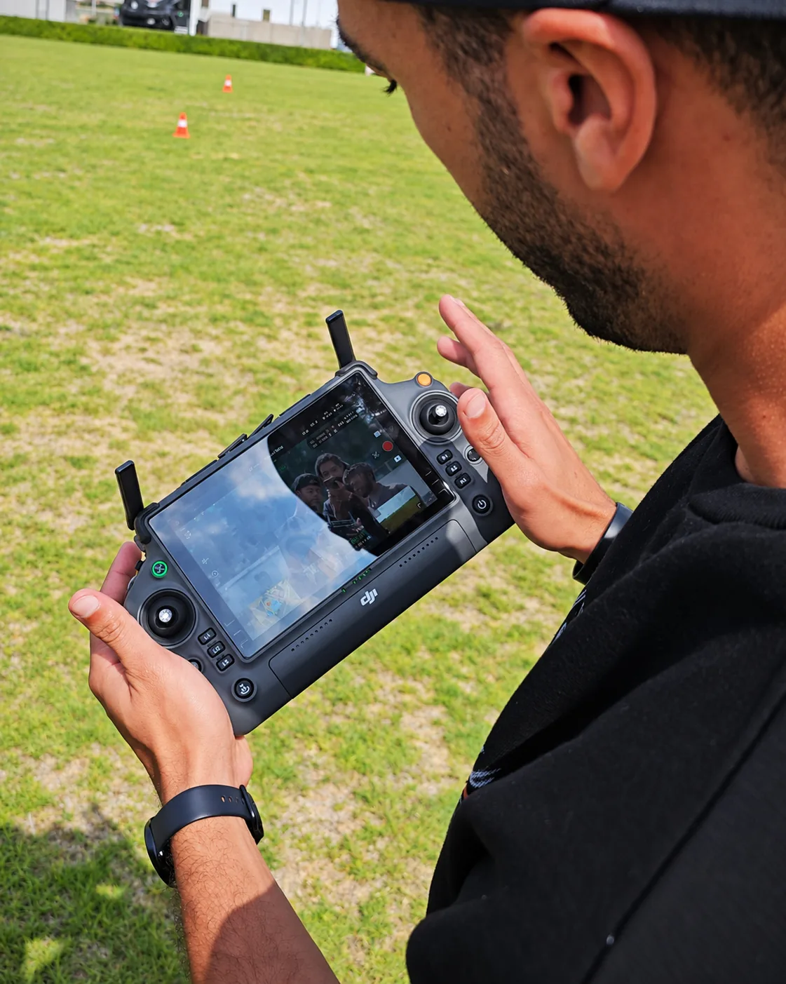
Survey planning, processing and interpretation all happen in-house in Dubai.
GCAA and DCAA licensed in the UAE, plus FAA Part 107 and EASA A1/A2/A3.
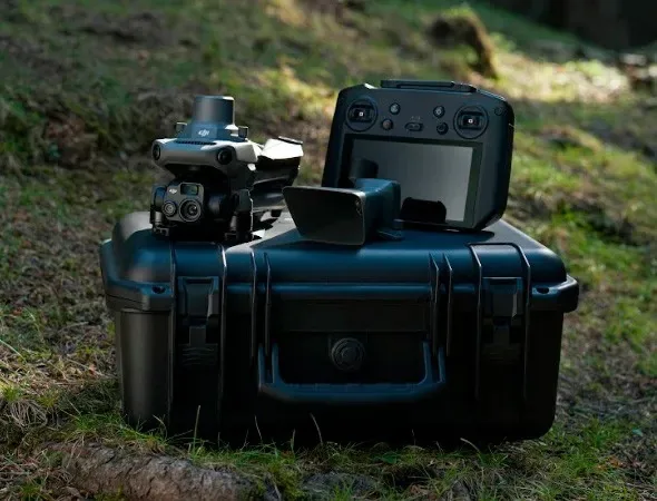
DJI Matrice 4E, Mavic 3M and Matrice 4T: visual, thermal and multispectral sensors selected per mission.
The Founder
Two worlds, one gap worth closing
Mostafa Hamad, Director and Chief UAV Pilot, founded AIN UAE after more than a decade across two very different worlds: UAV operations and large-scale retail asset management.
He spent over eight years as a Director overseeing asset-heavy operations across the UAE, watching how much time, money and risk was tied up in the way organisations inspect, document and manage physical assets. The data was always late, always incomplete, and rarely matched reality on the ground.
Crossed with a UAV background that began in 2017, from precision aerial filming through founding Skyknight.ae, all the way to surveying and digital twin technology, the gap became obvious. And closeable.
Multi-jurisdictional certification
One of a small number of UAE pilots certified across three aviation authorities
Positioned to serve international clients and multi-jurisdictional projects with full compliance.
The Journey
From hobby flight to enterprise intelligence
First flight
UAV operations begin as precision flying evolves from hobby to craft.
Skyknight.ae
A UAE aerial filming operation: commercial UAV deployment and data workflows at production standard.
Survey & twin technology
Expertise deepens into photogrammetry, remote sensing and digital twin delivery.
AIN UAE
The gap between asset management and aerial data. Closed. One team, one contract, delivered.
Who we work with
Clients who need a record, not footage
Construction & Contracting
Progress monitoring, volumetric surveys, as-built documentation.
Engineering Consultancies
Topographic surveys, BIM-ready 3D models, clash detection support.
Facilities Management
Routine building inspections, façade surveys, roof condition assessments.
CGI & Visualisation Studios
High-resolution photogrammetry models, point clouds and textured meshes.
Civil Infrastructure Owners
Bridge and tunnel inspection, deformation monitoring, digital records.
Agricultural Operators
NDVI mapping, crop stress analysis, precision irrigation planning.
The operation
Where the work actually happens
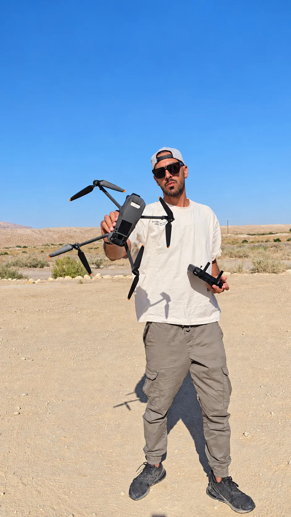
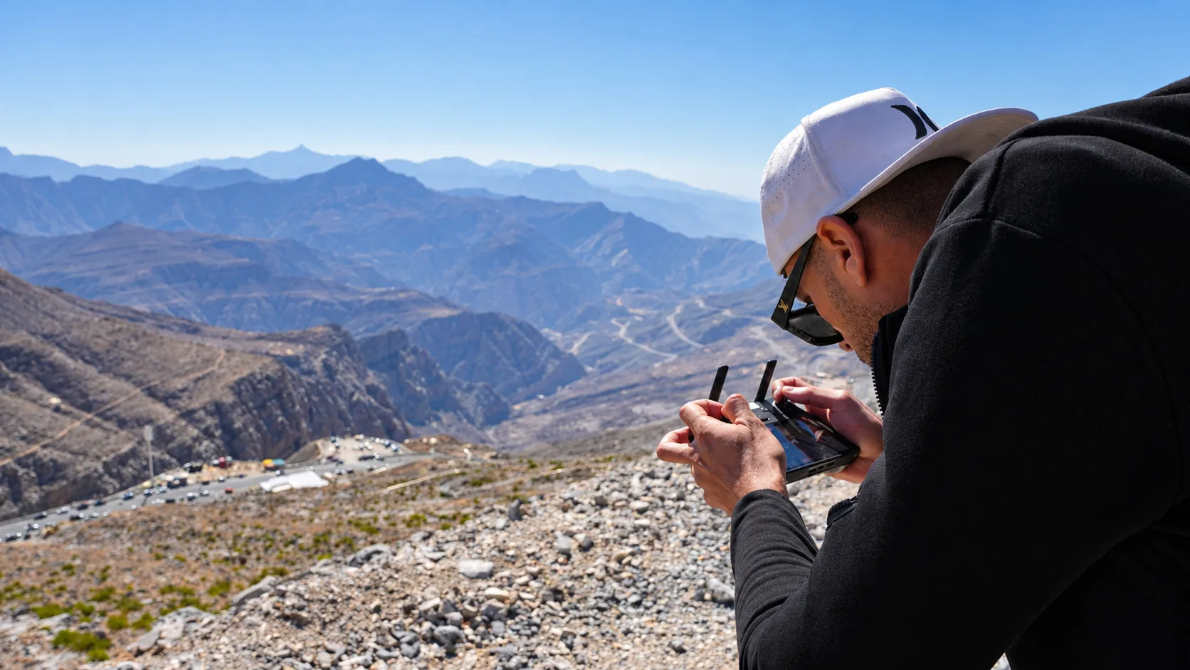
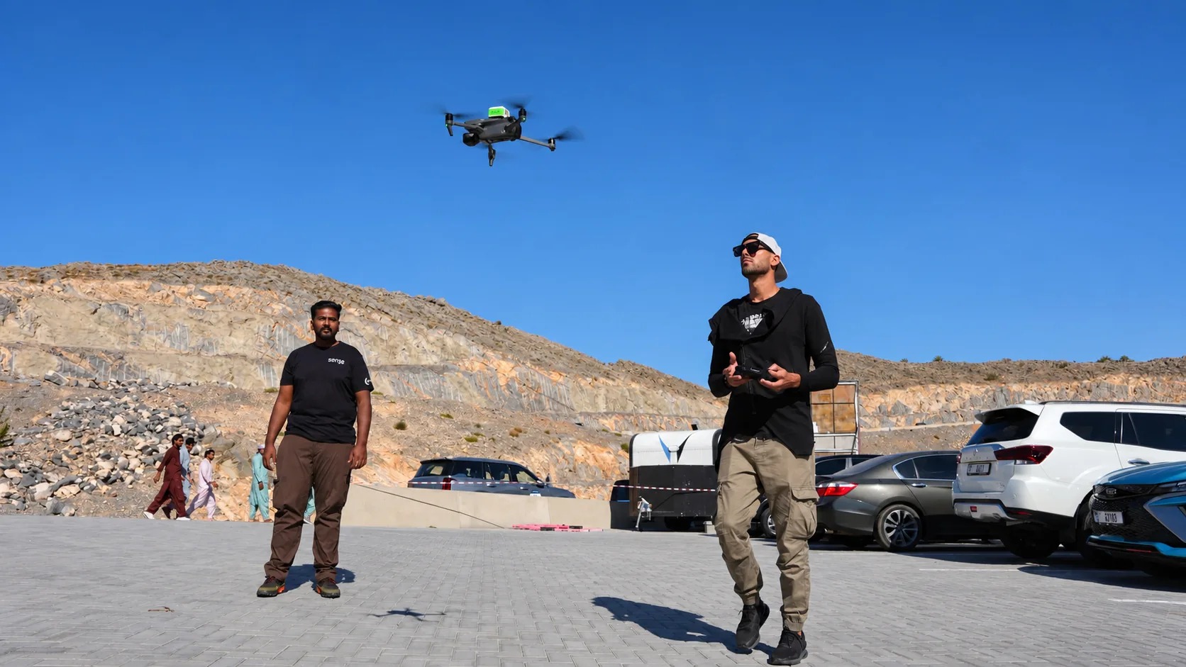
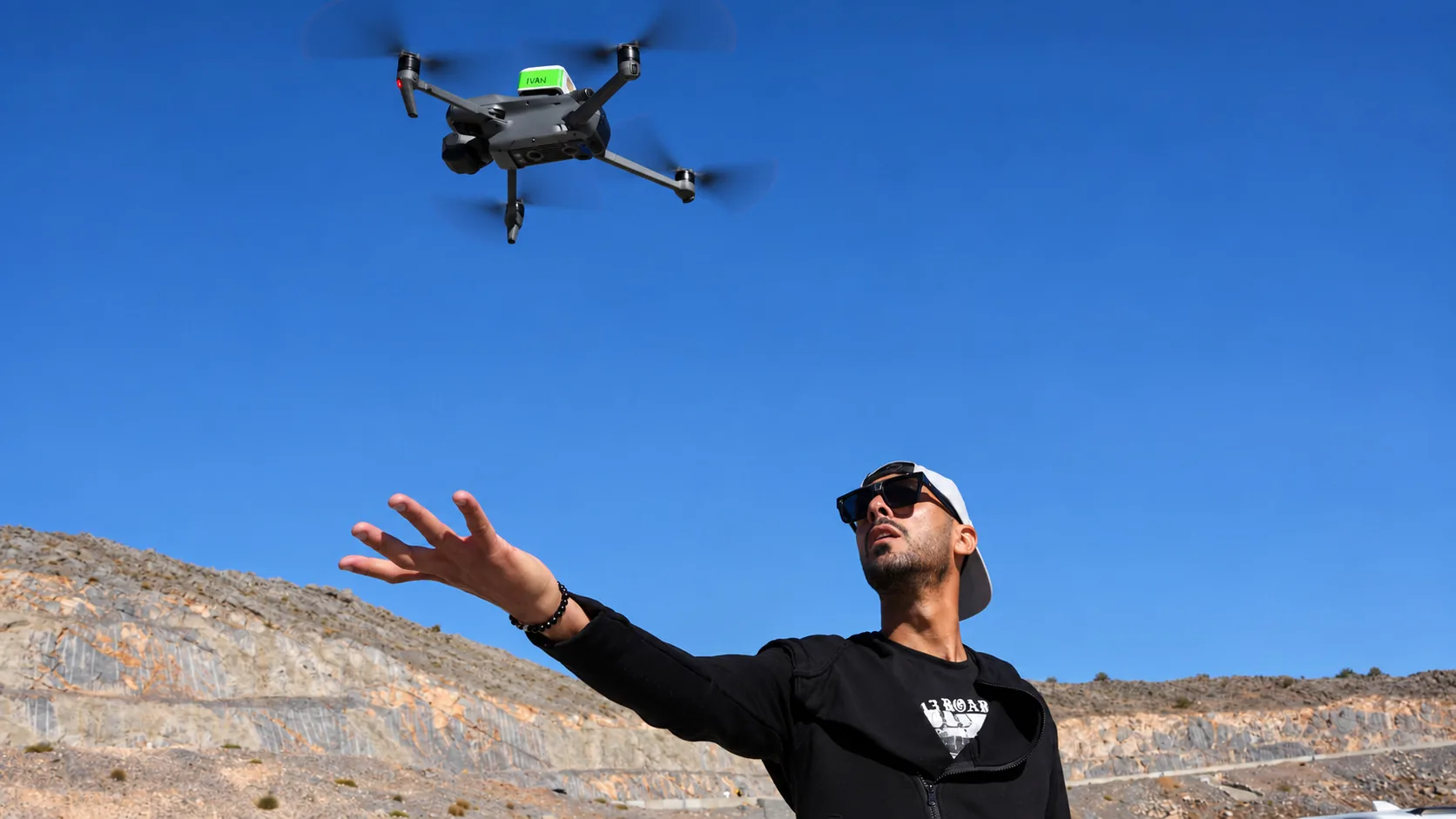
Desert, coastline, mountain and industrial sites. Our pilots mobilise to the asset rather than working from whatever a subcontractor sends back.


Ready to see your asset in data?
Book a free consultation. GCAA & DCAA licensed. We respond within 24 hours.