


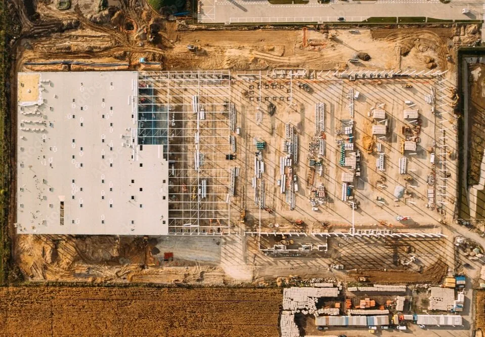
Solution · Photogrammetry & 3D Mapping
Drone Surveying & PhotogrammetryMapping in the UAE
Centimetre-accurate, BIM-ready vertical mapping, orthomosaics, point clouds and mesh models for survey and design teams in Dubai, Abu Dhabi and across the UAE, structured for the tools your team already uses: AutoCAD, Revit, Civil 3D, Unreal Engine and standard GIS platforms.
The Challenge
Models that need days of rework
Photogrammetry outputs that arrive broken, untextured or in formats that stall a BIM environment. Survey data that doesn't reconcile with design intent.
The Solution
Deliverables that drop in cleanly
We know what engineers need from a point cloud and how a photogrammetry model needs to be structured to drop cleanly into a BIM environment. That structure is the deliverable.
Outputs
Mapping & survey deliverables
Point Clouds
Registered, classified point clouds in LAS and E57: clean enough for clash detection support.
Textured Mesh Models
High-resolution meshes for CGI, visualisation and Unreal Engine pipelines.
Orthomosaic Maps
Geo-referenced orthophotos for planning, progress and volumetric analysis.
Topographic Surveys
Engineering-grade terrain models and contours for consultancies.
As-Built Documentation
Time-stamped construction compliance records that match reality on the ground.
Volumetric Analysis
Cut/fill and stockpile volumes measured from the air in hours, not weeks.
In the field
Deliverables, from real projects
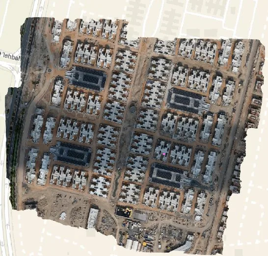
Geo-referenced orthophoto of a full construction city, ready for planning and volumetric analysis.
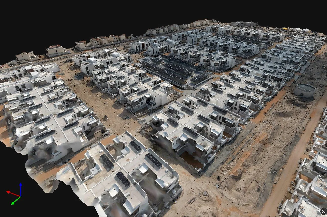
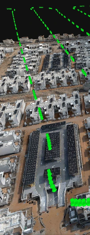
High-resolution mesh model for visualisation, CGI and Unreal Engine pipelines.
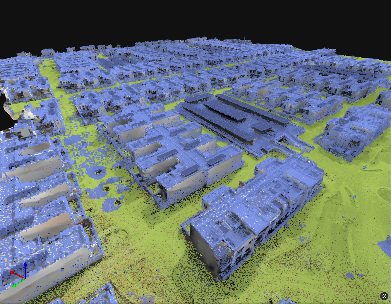
Classified point cloud separating built surfaces from bare-earth terrain, in LAS and E57.
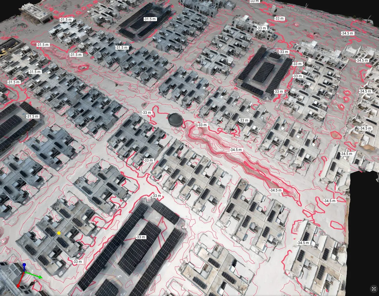
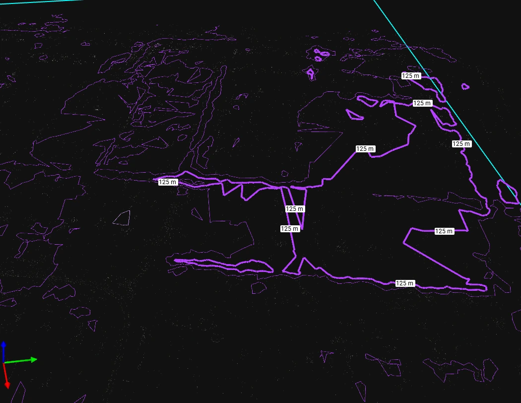
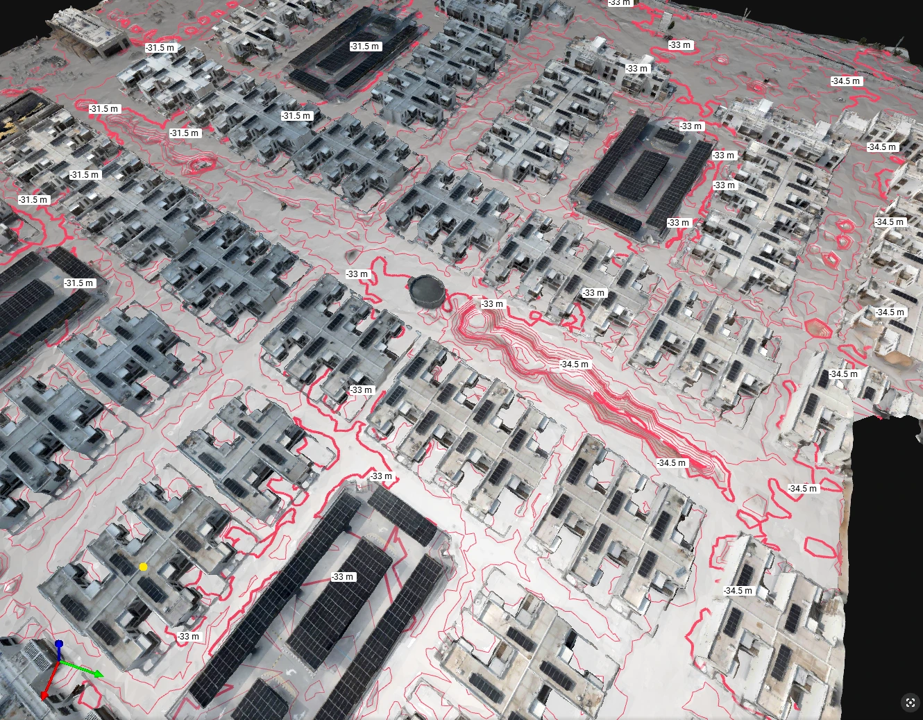
Engineering-grade contour lines and elevation labels for consultancies and civil design.
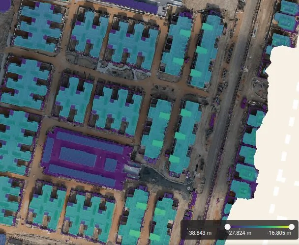
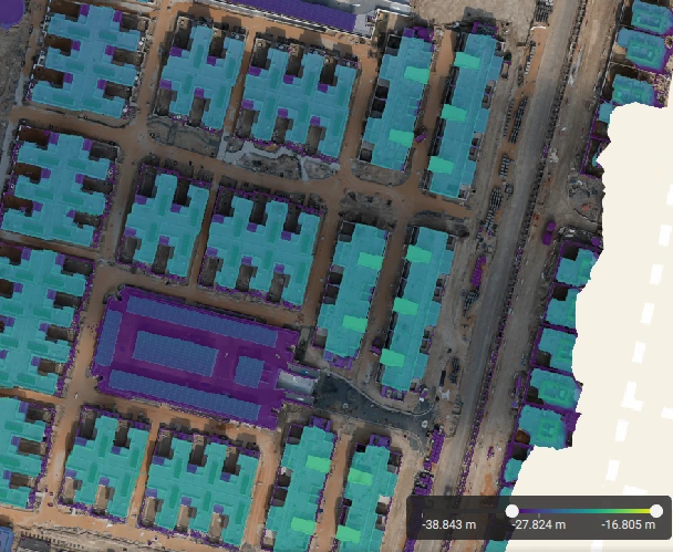
Digital Surface Model with per-metre elevation banding for cut/fill and drainage analysis.
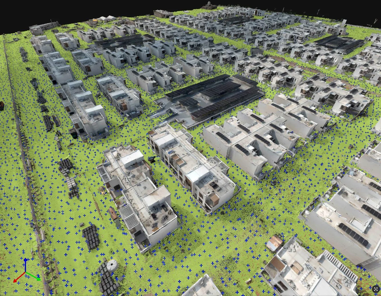
Sampled elevation grid points underpinning survey-grade terrain models.
Accuracy
RTK/PPK. Survey-grade. Verified.
Centimetre-level accuracy using RTK/PPK positioning, ground control validation and rigorous QA before anything leaves our processing pipeline.
Control
Ground control network and RTK base configuration for survey-grade positioning.
Fly
Systematic vertical and oblique capture: nadir grids, façade passes, corridor missions.
Process
In-house photogrammetric processing, registration, classification and QA.
Deliver
Formats matched to your environment: CAD, BIM, GIS or game engine.
FAQ
Common questions
Centimetre-level accuracy with RTK/PPK positioning and ground control validation. Accuracy statements are documented in every survey report so the deliverable is defensible for engineering and compliance use.
Yes. RCP and IFC-compatible deliverables are structured to drop into Autodesk Revit, Bentley and Civil 3D without third-party conversion or days of rework.
Frequently. High-resolution textured meshes and clean point clouds are structured for visualisation pipelines and Unreal Engine workflows.
Capture to deliverable
How the survey becomes a model
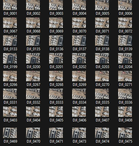
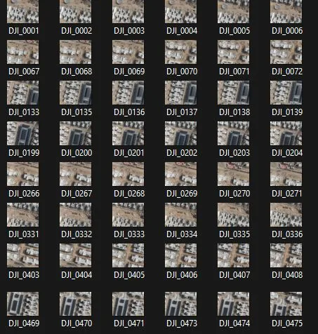
Overlapping imagery is flown to a planned route, then processed into the surfaces, contours and clouds your engineering tools expect.
Ready to see your asset in data?
Book a free consultation. GCAA & DCAA licensed. We respond within 24 hours.