Terrestrial laser scanning & Scan-to-BIM
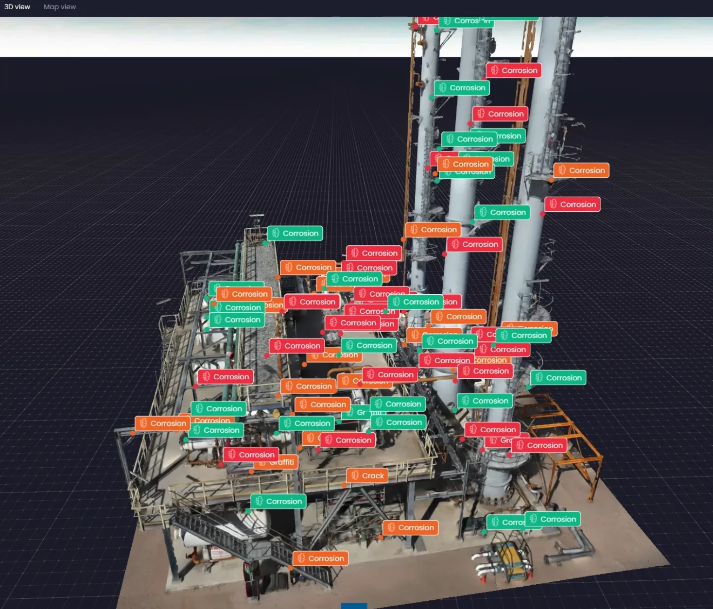
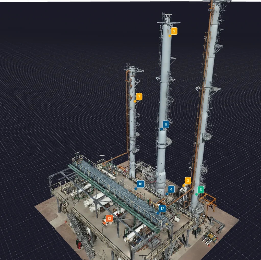
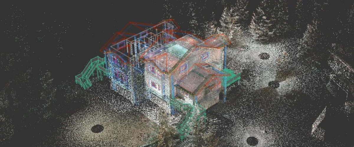
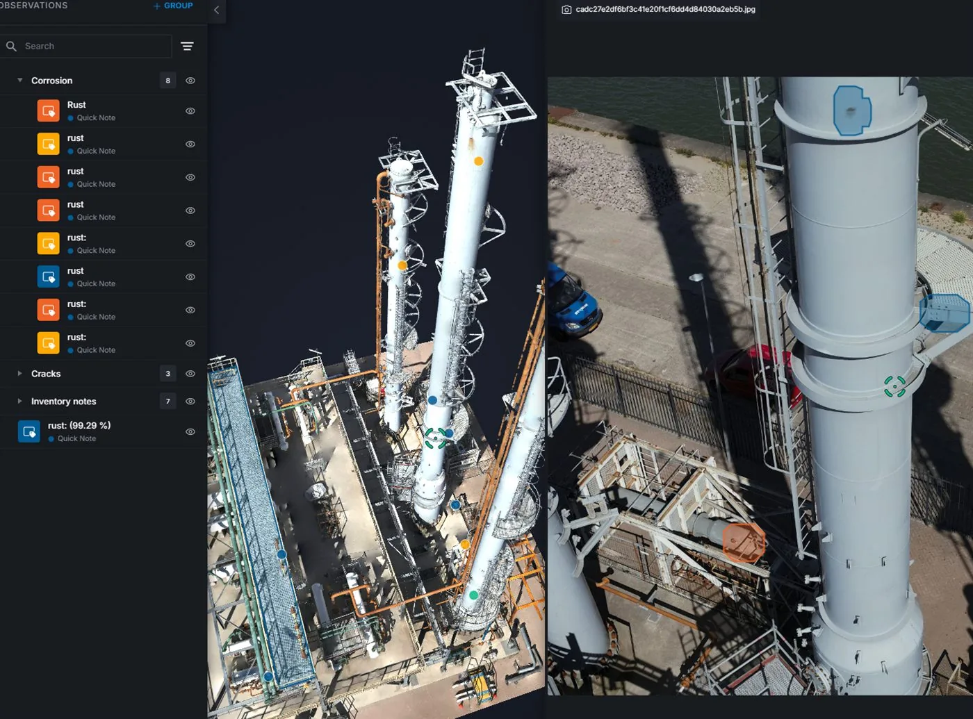
AIN offers terrestrial laser scanning and Scan-to-BIM. Laser scanning captures existing geometry as a point cloud; that data can support existing-condition modelling within the agreed capture coverage and model requirements.
- Describe the building or asset, required areas and access arrangements.
- Define the model use: design coordination, refurbishment or existing-condition documentation.
- Discuss disciplines, information and detail requirements, delivery formats and verification.