



Location · Abu Dhabi & Al Ain
Drone survey & inspectionin Abu Dhabi
GCAA-registered drone survey, inspection, mapping and digital twin services across Abu Dhabi, Al Ain and the Al Dhafra Region. Industrial plant, energy and utility assets, infrastructure and master developments, captured under full approvals and delivered in the formats your team already uses.
Aerial data for Abu Dhabi's asset owners
Abu Dhabi is an asset-heavy emirate: energy and industrial plant in Mussafah and the industrial zones, utility and power corridors across the mainland and islands, bridges and civil infrastructure, and some of the region's largest master developments. Inspecting and documenting those assets the traditional way is slow, expensive and disruptive.
AIN UAE flies, processes and delivers in-house, under GCAA registration and the per-flight authorisations Abu Dhabi airspace requires. One accountable team takes a project from flight planning to a geo-referenced, audit-ready record: no subcontracted capture, no mystery file formats.
Coverage
Across Abu Dhabi, Al Ain & Al Dhafra
Energy & industrial
Thermal and visual inspection of plant, tanks, flare stacks and utility corridors in Mussafah and the industrial zones, flown around live operations with zero shutdown.
Power & utilities
Drone powerline and substation inspection, thermal anomaly detection and corridor survey across Abu Dhabi's transmission and distribution network.
Infrastructure & civil
Bridge, road and tunnel inspection with deformation monitoring, plus as-built and topographic survey for civil assets across the emirate.
Real estate & master developments
Progress monitoring, volumetric survey and 3D capture for developers and PMCs building across Abu Dhabi, Saadiyat, Yas and Al Reem.
Government & public sector
Compliant, audit-ready capture with private hosting and data sovereignty for government entities and critical-infrastructure operators.
Agriculture & environment
Multispectral survey, NDVI crop-health mapping and environmental monitoring for farms and estates across Al Ain and Al Dhafra.
Capabilities
What we deliver in Abu Dhabi
Asset & structural inspection
Façades, roofs, bridges, towers and industrial plant, with AI-assisted defect detection.
Explore →
Aerial mapping & survey
RTK/PPK photogrammetry, orthomosaics, topographic and as-built survey in BIM-ready formats.
Explore →
Deformation monitoring
Bridge, tunnel and civil-asset deformation tracking geo-referenced to a common model across cycles.
Explore →
Digital twin platform
A living 3D record with defect tagging, role-based access and private hosting for the whole team.
Explore →
Multispectral agriculture
NDVI crop-health mapping, stress detection and precision irrigation for Al Ain and Al Dhafra farms.
Explore →
GCAA-approved & compliant
Every mission flown under GCAA registration with the permits and authorisations handled for you.
Explore →
How a survey runs
From flight plan to 3D model
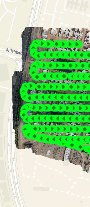
Automated nadir grid mission planned for full, overlapping coverage of the site.
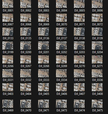
Thousands of geo-tagged images per mission, captured in a single flight day.
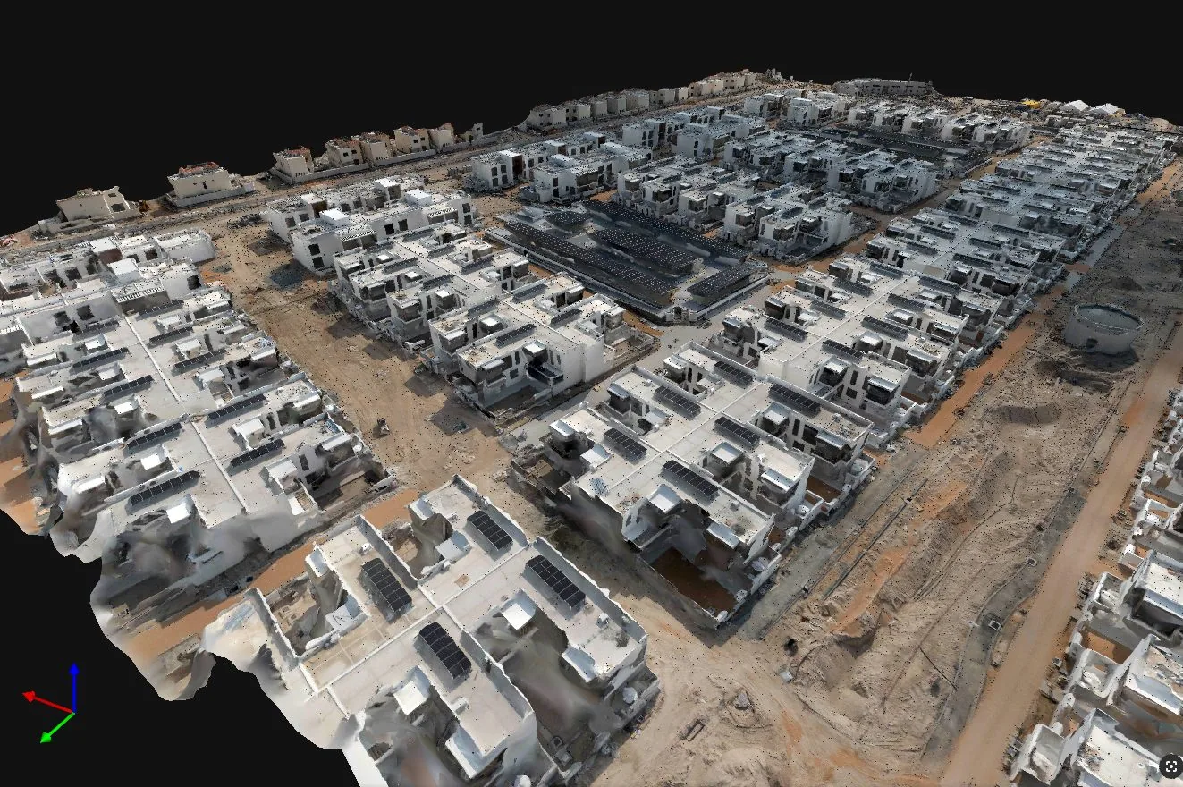
In-house photogrammetric processing into a survey-grade, BIM-ready 3D model.
Why AIN UAE
Compliant, local, accountable
GCAA registered
National GCAA registration plus the per-flight authorisations Abu Dhabi airspace requires, obtained before mobilisation.
Fast local mobilisation
A UAE-based team covering Abu Dhabi, Al Ain and Al Dhafra: we respond within 24 hours and mobilise without waiting on a foreign crew.
One team, one contract
Flight, processing, modelling and platform delivery all in-house, so deliverables drop cleanly into your workflow.
FAQ
Drone survey in Abu Dhabi · common questions
Yes. AIN UAE operates across the emirate of Abu Dhabi, including Abu Dhabi city, the islands, Al Ain and the Al Dhafra (Western) Region, as well as the wider UAE and GCC.
Yes. Thermal and visual UAV inspection of powerlines, substations and utility corridors is a core service, flown under GCAA registration and around live operations without a shutdown.
Yes. RTK/PPK photogrammetry, orthomosaic and topographic survey, as-built documentation and deformation monitoring are delivered to survey-grade accuracy in BIM-ready formats such as LAS, E57, RCP and IFC.
Yes. AIN UAE is GCAA-registered, the national requirement for commercial drone operations anywhere in the UAE, and obtains the per-flight authorisations that Abu Dhabi airspace requires as part of every project.
Scope your Abu Dhabi project in one call
Tell us the asset, the deadline and the deliverable format: we’ll map the mission. GCAA licensed. We respond within 24 hours.