


Industries we serve
Drone solutions for UAE industries
A digital twin means something different to a contractor, a facilities manager and a visualisation studio. AIN UAE builds the deliverable each one actually uses, not a single generic output relabelled six times.
Why industry specialisation matters
There are plenty of survey companies in the UAE, and most offer a wide range of services with average depth in each. We do the opposite. Our workflows are built specifically for digital twin delivery, structural inspection and geospatial data processing, which means we know what an engineer needs from a point cloud, what a facilities manager needs from an inspection report, and how a photogrammetry model has to be structured to drop cleanly into a BIM or render environment.
Industry
Construction & Contracting
Surveying, progress records and as-built documentation for UAE construction companies, building contractors, developers and PMCs.
Explore →
Industry
Engineering Consultancies
Topographic surveying, BIM-ready point clouds and agreed reality-capture outputs for engineering consultants and design teams.
Explore →
Industry
Facilities Management
Façade and roof condition evidence for facility managers and asset owners, including suitable warehouse and commercial-property inspections.
Explore →
Industry
Civil Infrastructure
Bridge, tunnel and civil asset inspection with deformation monitoring and a defect history you can track over time
Explore →
Industry
Government & Public Sector
Compliant capture, data sovereignty and audit-ready records for government entities, municipalities and critical-infrastructure operators across the UAE
Explore →
Industry
CGI & Visualisation
High-resolution photogrammetry, clean textured meshes and scale-accurate point clouds for CGI studios, architectural visualisation teams and Unreal Engine pipelines across the UAE.
Explore →
Industry
Agriculture
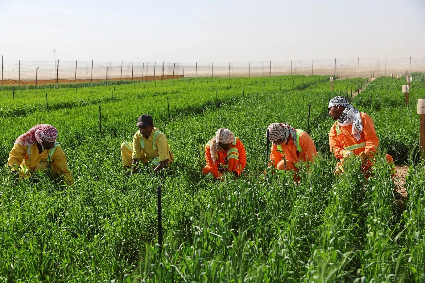
NDVI mapping, crop stress detection and variable-rate irrigation and fertilisation planning for agricultural operators, date palm plantations and agri-tech firms across the UAE.
Explore →
Common ground
What every industry gets
One team, one contract
Flight planning, permits, capture and processing all run in-house. No subcontracted capture, no third-party processors, no mystery file formats.
Multi-jurisdiction certification
GCAA and DCAA licensed in the UAE, plus FAA Part 107 and EASA A1/A2/A3: a combination that supports international and multi-jurisdiction projects.
Standard deliverable formats
LAS, E57, OBJ, RCP and IFC-compatible outputs that open directly in Revit, Bentley, Civil 3D and Unreal Engine.
Across sectors
One capability, many asset types
The same capture and processing chain serves developments, industrial plant, farmland and public infrastructure. What changes is the deliverable, not the method.

Scope your project in one call
Tell us the asset, the deadline and the deliverable format: we’ll map the mission. GCAA & DCAA licensed. We respond within 24 hours.