


Sustainability · 6 min read
Abu Dhabi is tracking 18.5 million mangroves in real time.Is anyone tracking your restoration project?
Abu Dhabi's new observatory turns 18.5 million trees into a live, verifiable record. For anyone running a restoration or offset project, that's the new bar for proof.
Published 27 July 2026 · AIN UAE
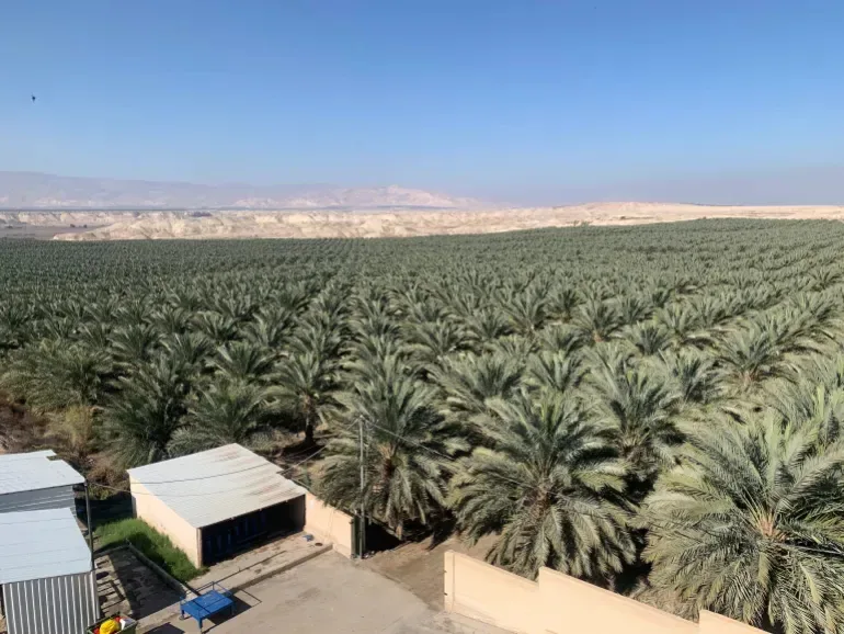
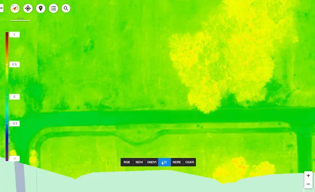
Multispectral and NDVI imaging tracks vegetation health across a site far faster than manual survey, and repeats cleanly on a schedule.
On 25 July 2026, the Environment Agency, Abu Dhabi launched the ADMI Mangrove Observatory, a digital platform built to monitor and coordinate mangrove restoration across the emirate. Funded by Dolphin Energy as part of a five-year sponsorship commitment, it pulls together data from 19 active restoration projects and multiple partners into one system, combining field surveys, satellite imagery and third-party data to track growth and rehabilitation across 1,775 hectares. It now tracks more than 18.5 million mangrove trees, part of an initiative that has raised over Dh5 million since it launched in 2022.
For anyone running an environmental restoration, offset or ESG-linked planting project outside government, this is worth a second look. It's not really a mangrove story. It's a proof-of-work story, and it says a lot about where restoration and ESG claims are heading.
What EAD just launched
The observatory replaces a patchwork of field reports and partner spreadsheets with one continuously updated system, tracking growth rates and survival across every rehabilitation site under the Abu Dhabi Mangrove Initiative. That matters because mangrove restoration, like most environmental restoration, has historically been hard to verify. Planting numbers get announced, but survival rates, growth trajectories and actual ecosystem recovery are much harder to prove after the fact without a continuous record.
Why a spreadsheet was never going to cut it
Restoration and offset claims are under more scrutiny than they used to be, from regulators, from investors, and increasingly from the public. A planting announcement alone doesn't prove an ecosystem is recovering. What proves it is a dated, verifiable record showing what was planted, where, and how it's actually performing months or years later. That's exactly the gap a spreadsheet or an annual site visit can't close, and exactly what a continuously updated observatory can.
Where aerial and multispectral data fits
- Multispectral and NDVI imaging measures vegetation health and growth across a restoration site far faster than manual field surveys, and repeats cleanly on a schedule.
- Aerial mapping ties planting locations to precise coordinates, so growth can be tracked plot by plot instead of as one averaged number for the whole site.
- A structured, dated record gives funders, regulators and ESG auditors something firmer to check than a photo and a press release.
The takeaway for anyone running a restoration project
Abu Dhabi's observatory sets a new reference point for what a credible restoration record looks like. Organisations funding, running or claiming credit for restoration and offset projects, whether that's mangroves, coastal rehabilitation or corporate greening commitments, now have a genuine opening to build that same kind of evidence base before an auditor, insurer or regulator asks for it.
That's precisely the gap high-resolution aerial and multispectral data capture is built to close: turning a one-off planting record into a living, verifiable account of what's actually growing, where, and how fast. It's the same monitoring logic behind precision agriculture work across the UAE.
About AIN UAE
GCAA & DCAA licensed drone data and digital twin company
AIN UAE is a GCAA and DCAA licensed drone data, inspection and digital twin company based in Dubai, working with developers, PMCs, engineering consultancies, facilities teams and infrastructure owners across the UAE and GCC. We capture and process aerial, thermal and multispectral data into inspection reports, BIM-ready models and digital twins that plug directly into Revit, Bentley and Civil 3D.
Talk through your project